- Home
- About Us
- Services
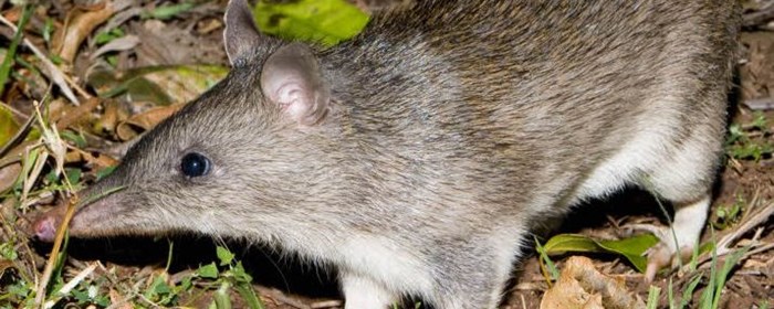
- Ecology
- Environment
- Contaminated Land Investigation
- Electricity
- Environmental Audits and Compliance Inspections
- Environmental Management Plans
- Environmental Training
- Erosion and Sediment Control Plans (ESCP)
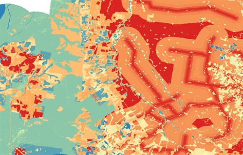
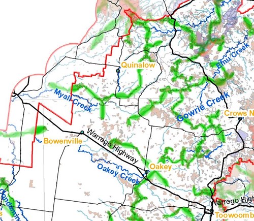
- GIS Spatial Analysis
- Local Governments
- NRM Regional Bodies
- Planning and approvals
- Research Organisations
- Resources Sector – Mining and Gas
- Review of Environmental Factors and Environmental Scoping Reports
- State and Commonwealth
- Transport – Road and Rail
- Waterway Barrier Approvals
- Water Quality Monitoring
- Noise, Vibration and Air Impact Assessment
- Cultural Heritage
- Aboriginal Archaeological Investigations
- Aboriginal Cultural Heritage Assessments
- Aboriginal Liaison and Negotiation
- Archaeological Investigations
- Cultural Heritage Management Plans
- Cultural Mapping and Analysis
- Development Applications
- Heritage Approvals
- Heritage Exemption Certificate
- Impact Assessments
- Native Title
- What People Say
- News
- Contact
- Home
- About Us
- Services
- Ecology
- Environment
- Contaminated Land Investigation
- Electricity
- Environmental Audits and Compliance Inspections
- Environmental Management Plans
- Environmental Training
- Erosion and Sediment Control Plans (ESCP)
- GIS Spatial Analysis
- Local Governments
- NRM Regional Bodies
- Planning and approvals
- Research Organisations
- Resources Sector – Mining and Gas
- Review of Environmental Factors and Environmental Scoping Reports
- State and Commonwealth
- Transport – Road and Rail
- Waterway Barrier Approvals
- Water Quality Monitoring
- Noise, Vibration and Air Impact Assessment
- Cultural Heritage
- Aboriginal Archaeological Investigations
- Aboriginal Cultural Heritage Assessments
- Aboriginal Liaison and Negotiation
- Archaeological Investigations
- Cultural Heritage Management Plans
- Cultural Mapping and Analysis
- Development Applications
- Heritage Approvals
- Heritage Exemption Certificate
- Impact Assessments
- Native Title
- What People Say
- News
- Contact
close